Pantalica World Heritage Site
Sicilian Nature
Pantalica - vast area of spectacular gorges cut by the water, archeological site of megalithic structures, burial caves and extraordinary flora is listed as World Heritage Site.
The south-eastern part of Sicily is formed by a vast plateau of limestone rock that “once upon a time” (in geological scale it was a Miocene) was part of the seabed.
Known as Plateau Ibleo (Hyblean), it is the result of collision between African and Eurasian tectonic plates. Mostly soft and soluble, reshaped in a course of zillions of years of erosion and volcanic activity, today the Hyblean Plateau is a geographically diversified mountainous area. On the surface it is dominated by several peaks exceeding 900 meters (Mount Lauro – an old submarine volcano reaches 987 m /3238 ft), large fluvial valleys (known as “gullies”) as well as canyons and deep ravines cut by rivers and streams. The hidden world counts numerous underground caves and sinkholes characteristic of karst phenomenon.
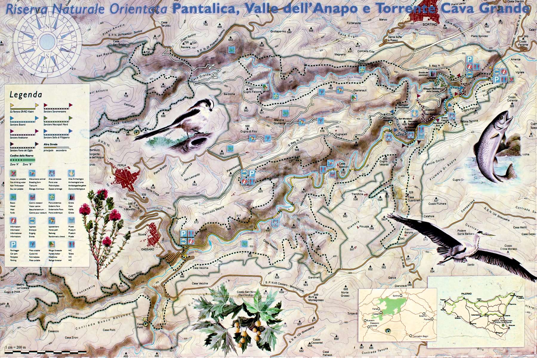
Pantalica Nature Reserve - Map
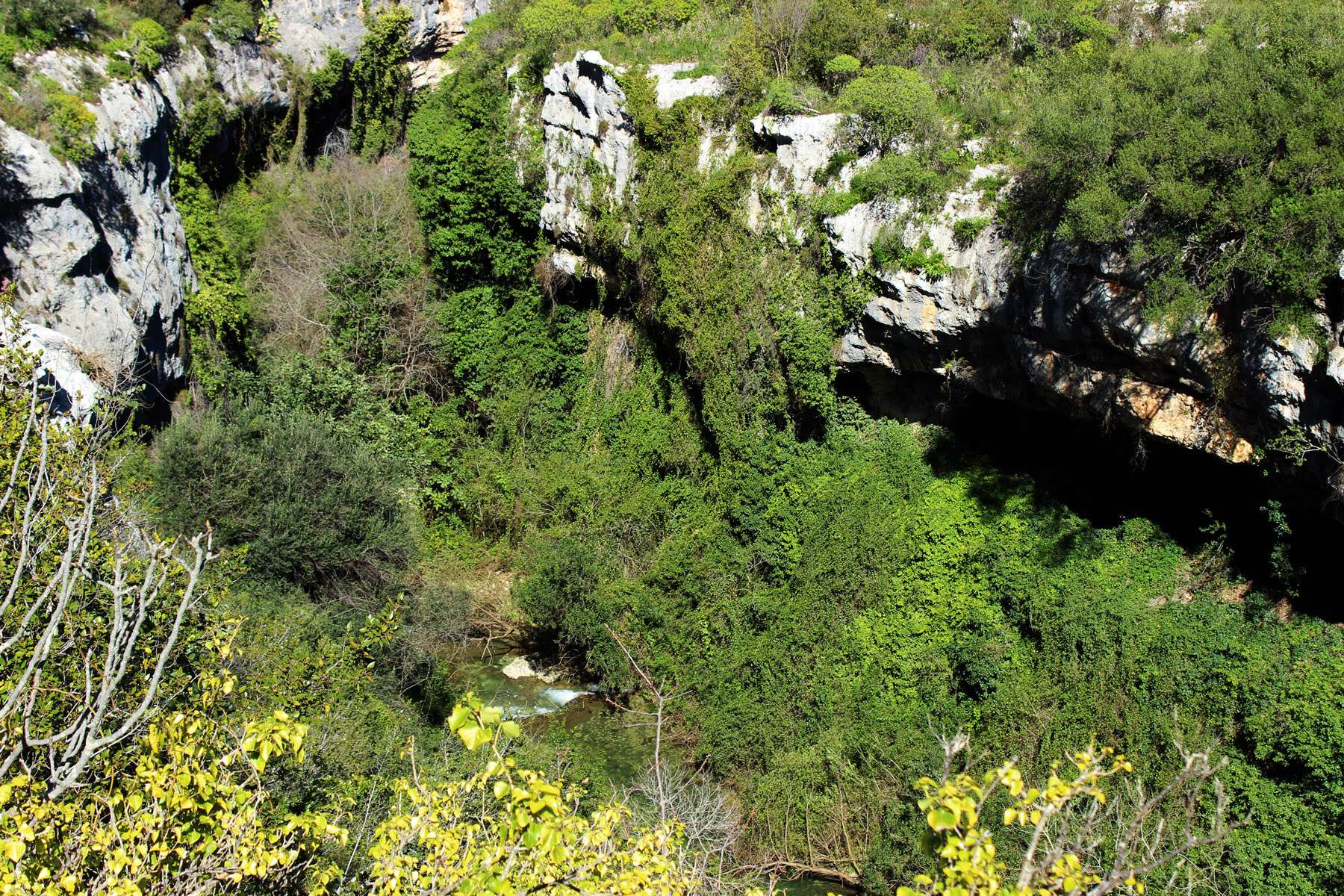
Wilderness with gorges, ravines, water....

One of the streams cutting through the Pantalica Nature Reserve: Cava Grande
One of the most scenic plateau’s areas shaped by Mother Nature is located at the confluence of Anapo and Cava Grande Rivers. Because the final stretch of the canyon just before the confluence of rivers is called Valle Calcinara, this part of the Torrente Cava Grande is also known as Calcinara River (or Bottiglieria River). The steep canyons overgrown by all sorts of lush vegetation form a characteristic V-shape which subsequently transforms into one meandering ravine carrying waters towards the nearby Ionian Sea. In the upstream direction, both canyons (valleys) are separated by the saddle-ridge of Filipporto extending eastward towards Ferla. Shortly – the area is commonly known as the Gorges of Pantalica.
In pre-historic times such geological formations created ideal habitats for humans. Soft limestone made possible to carve dwellings with the use of primitive tools. Steep canyon walls provided lines of natural defense from enemies, while abundance of water, rich wildlife and diversified vegetation supported life. No wonder that Pantalica was already inhabited since 13 century BC by indigenous Sicilian people (Sicani). More or less “advanced” settlements existed there throughout almost two millennia till the beginning of occupation of Sicily by Saracens in 9th century AD.
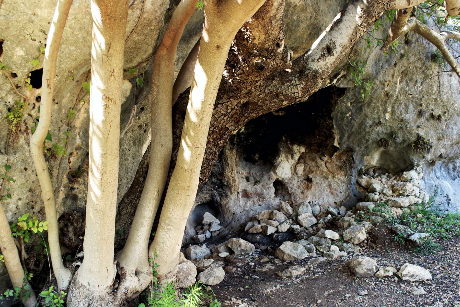
Beauty of the Mother Nature
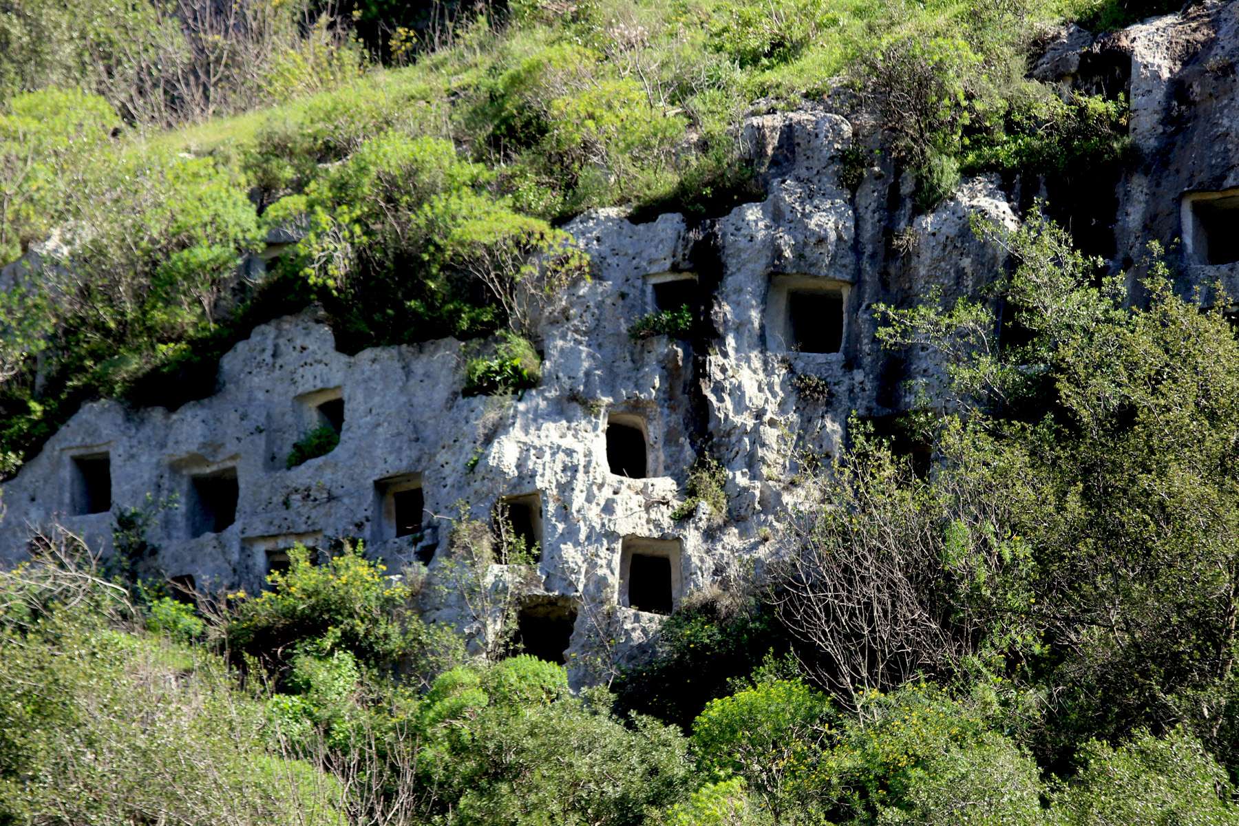
Burial caves
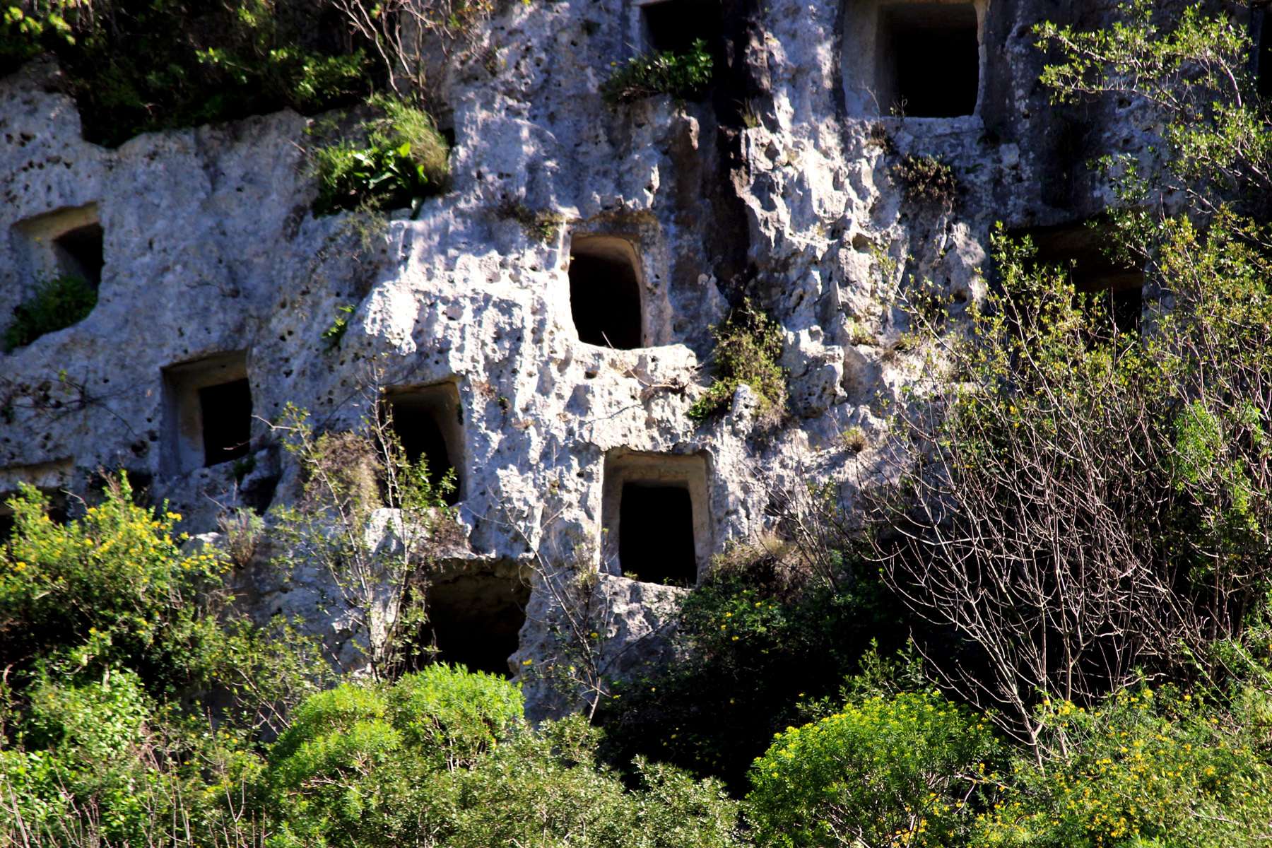

One of numerous Middle-Age time cave dwellings

Pipistrelli Cave

Church of Crucifix
Understanding importance of the extraordinary geological and biological diversity as well as natural, historical and archeological value, in 1997 the Sicilian Government protected the area by founding the Nature Oriented Reserve of Pantalica. Its full name – “Riserva Naturale Orientata Pantalica, Valle dell’Anapo e Torrente Cava Grande” reflects the composition of the Nature Park covering some 3700 hectares stretched between the towns of Ferla and Cassaro (west) and Sortino (north-east).
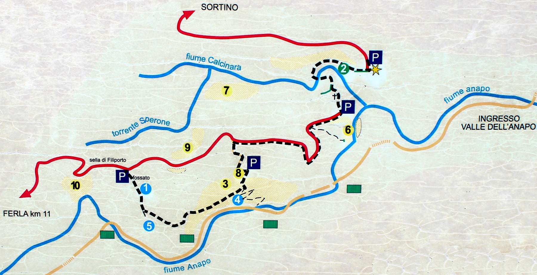
Pantalica: Map of hiking trails

You will find many signs along the trails
Hiking and Trekking
The Nature Park is a perfect place for trekking and hiking and includes several trails: from easy and relatively flat to more difficult ones descending to the bottom of the canyon. These are:
- Sentiero “Saramenzana” (1 km /0.6 mile) - It starts from Fusco entrance (SR11 – segment Sortino) and descends to the Anapo River
- Sentiero “Bisanti” (1.25km / 0.8 mile) - It is an extension of Saramenzana following the Anapo River. From the trail opens a view on the North Necropolis of Pantalica.
- Sentiero “ North Necropolis” (1.35 km mile /0.85) -The trail is a “missing” connection between two sections of the road SR11: one from Sortino and second one from Ferla. It descends to the Torrente Cava Grande, crosses it (provided low water level) and climbs up to the road. On the way there is a Grotta Pipistrelli (Bat Cave) and a nice view on then North Necropolis.
- Sentiero “ Anaktoron” (1.35 km / 0.85 mile); -It starts from the road SR11 (Ferla section) and climbs to the site of ruins of megalithic structure known as Anaktoron on the rocky ridge separating Anapo’s and Calcinara’s Valleys. On the way it passes by the Byzantine village San Nicolicchio.
- Sentiero “Sella di Filipporto” (1.1km /0.7 mile);- It starts near the abandoned railway station Pantalica and leads to the Byzantine village San Micidiario and Filipporto Necropolis ending at Rd. SR11 (section Ferla).
- Sentiero “ Fonte del Giglio” (0.3 km / 0.2 mile); - It is a very short trail starting from railway and leading to the Giglio Spring
- Sentiero “ Giarranauti” (4 km / 2.5 miles); - This is the pedestrian, mountain biking and equestrian path starting at the entrance Palombazza and ending at the hill Giarranauti.
- Sentiero “Ferrovia”; - This is the path between two entrances to the park: Sortini (North-East) and Cassaro-Ferla (West). It follows tracks of the former railway Syracusa-Ragusa-Vizzini opened in 1912 then closed and abandoned in 1956. The railway (and now the path) is crossing the park along the Anapo River. While little bridges, signal boxes and few cottages still remind the “industrial” past, the Mother Nature slowly but surely is taking over…. Long (about 8 km / 5 miles), flat but winding, the trail passes by Railway Station Pantalica (now restored and housing small Nature Interpretation Center) and a farmhouse Masseria Specchi. All along, it offers beautiful views, contact with unspoiled nature and an access to most of mentioned above trekking paths.
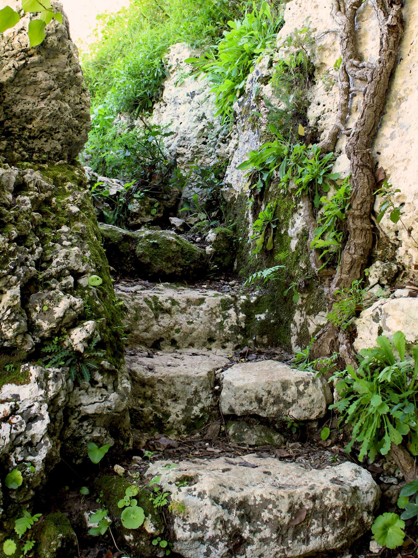
Hiking trail

Nature always finds its way....
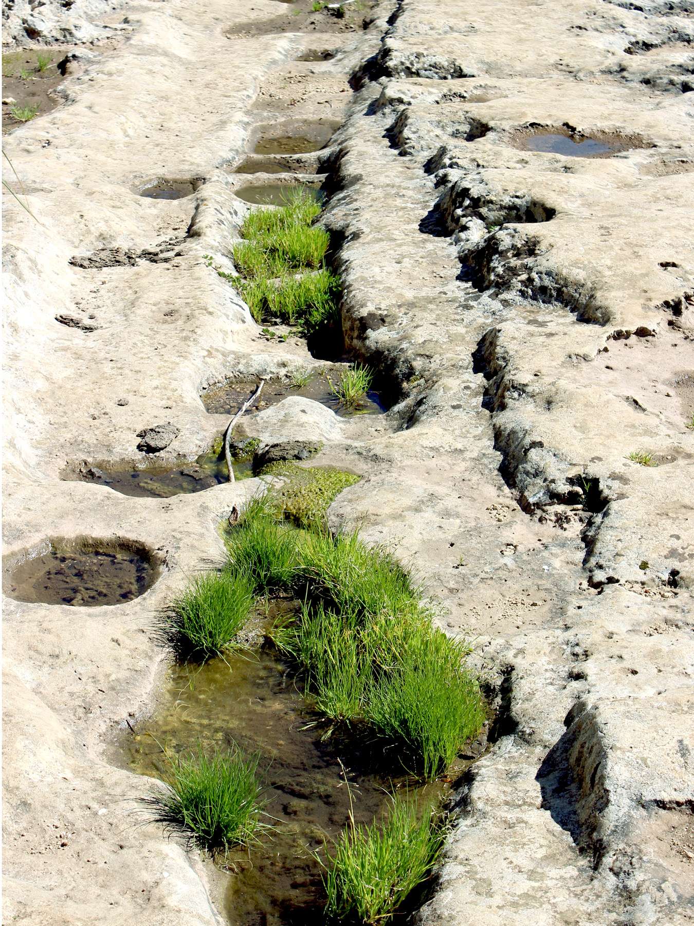
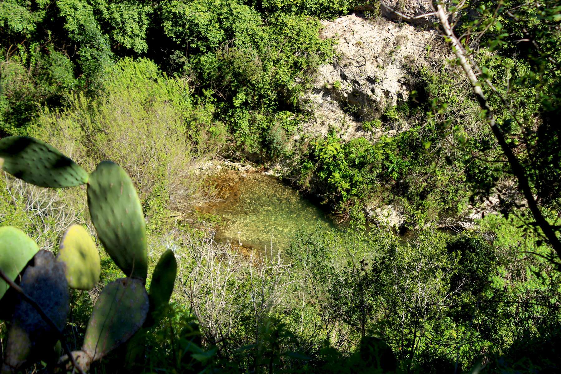
Along the trail a lot of secluded places
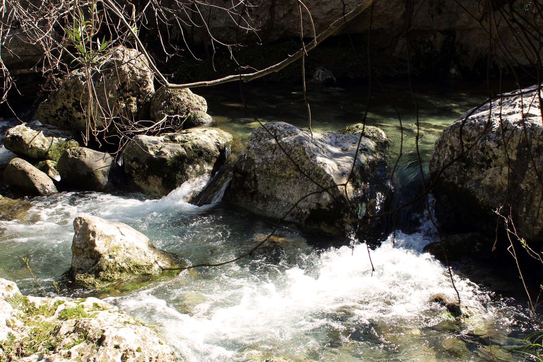
.... and streams

Dwelling in the Middle-Age Village della Cavetta

Villagio della Cavetta
The Pantalica Reserve is a paradise for lovers of dramatic forms of landscape. Numerous pathways offer different degrees of difficulty. But they have something common – unspoiled nature, millennia of human presence (now mostly “absorbed” by Mother Nature) and (in absence of tourists) – silence broken only by songbirds and sounds of water….
Archeological Sites
The Nature Reserve includes some 4000+ burial caves cut into the limestone and distributed in clusters along the walls of Anapo , Calcinara and Sperone Rivers. The oldest caves with kind of “elliptical” shapes are dating to 13th-11th centuries BC (Bronze Age) and are grouped in the Necropolises North-West and North.
The North-West Necropolis located on the cliffs of Torrente Sperone ‘s gorge stretches from the edge of Filipporto Ridge to the confluence with Calcinara River. It counts some 600 burial caves. The North Necropolis is the largest one, it stretches for over 1500 meters along the Calcinara River and counts approximately 1500 burial caves (tombs).
Caves from 9th-7th centuries BC (Iron-Age) characterized by rectangular shapes, some with sort of small “porch” in front – are grouped in Necropolises Filipporto, South-West and South with each approximately counting some 500, 350 and 700 tombs.
The remains of Anaktoron show traces of once imposing megalithic structure and that is why symbolically it is called “Prince’s Palace”. It shows features typical to architecture of Mycenaean palaces from the time of the peak of this Late-Bronze-Age culture at about 13th century BC , but frankly not much is known about its origins and subsequent use. The ruins were unearthed between 1895 and 1910 by the team of Italian archeologists led by Paolo Orsi. Excavated artifacts (pottery, jewelry, tools and weaponry (now on display in the Archeological Museum in Syracuse) give some light into lives of early settlers, suggesting that that the site was still occupied in Byzantine period (6th -8th centuries AD). However the real history of Anaktoron is lost in time so rather “obscure”….
Surviving from Byzantine period are four cut in rock villages and three chapels. The first settlement was built around the Chapel of Crucifixion (Chiesetta del Crucifisso) – a rectangular shape cave where till recently it was still possible to see frescoes of crucifixion and of St. Nicholas. It is located near the parking lot at the end of Ferla’s section of SR11.
The second settlement called Villaggio della Cavetta is located about 1 km from the end of SR11 (section Ferla). While from the road only few caves are visible (and accessible), the village includes some 70 dwellings.
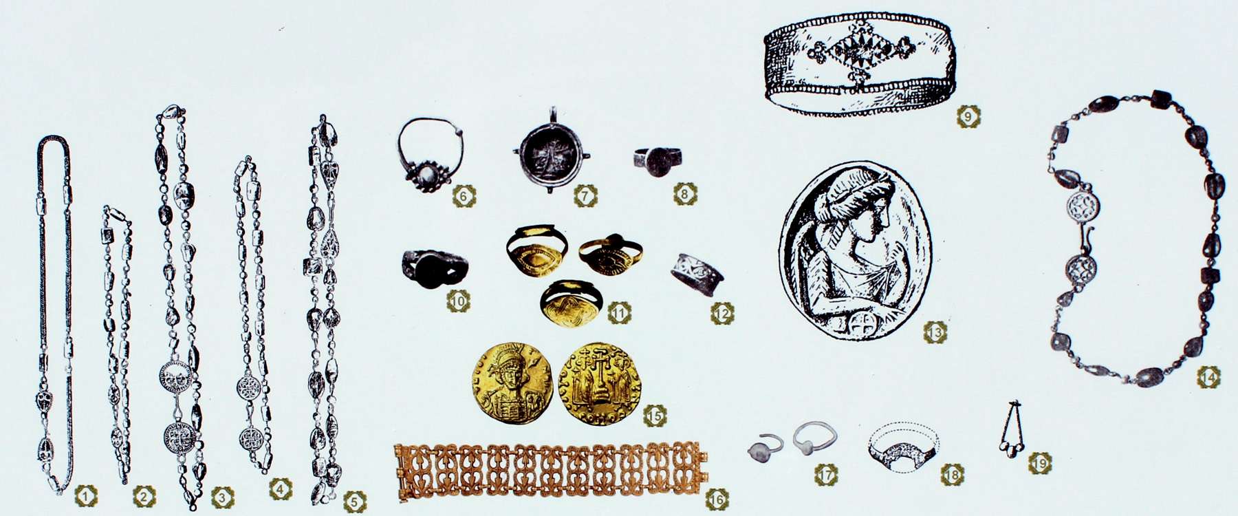
Archeological findings prove that in the past the area of Pantalica was inhabited by well developed society
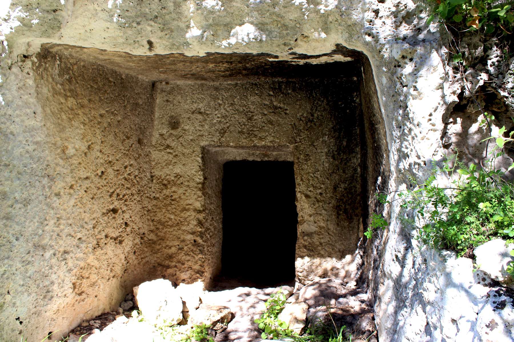
Dwellings were much more "engineered" than raw caves
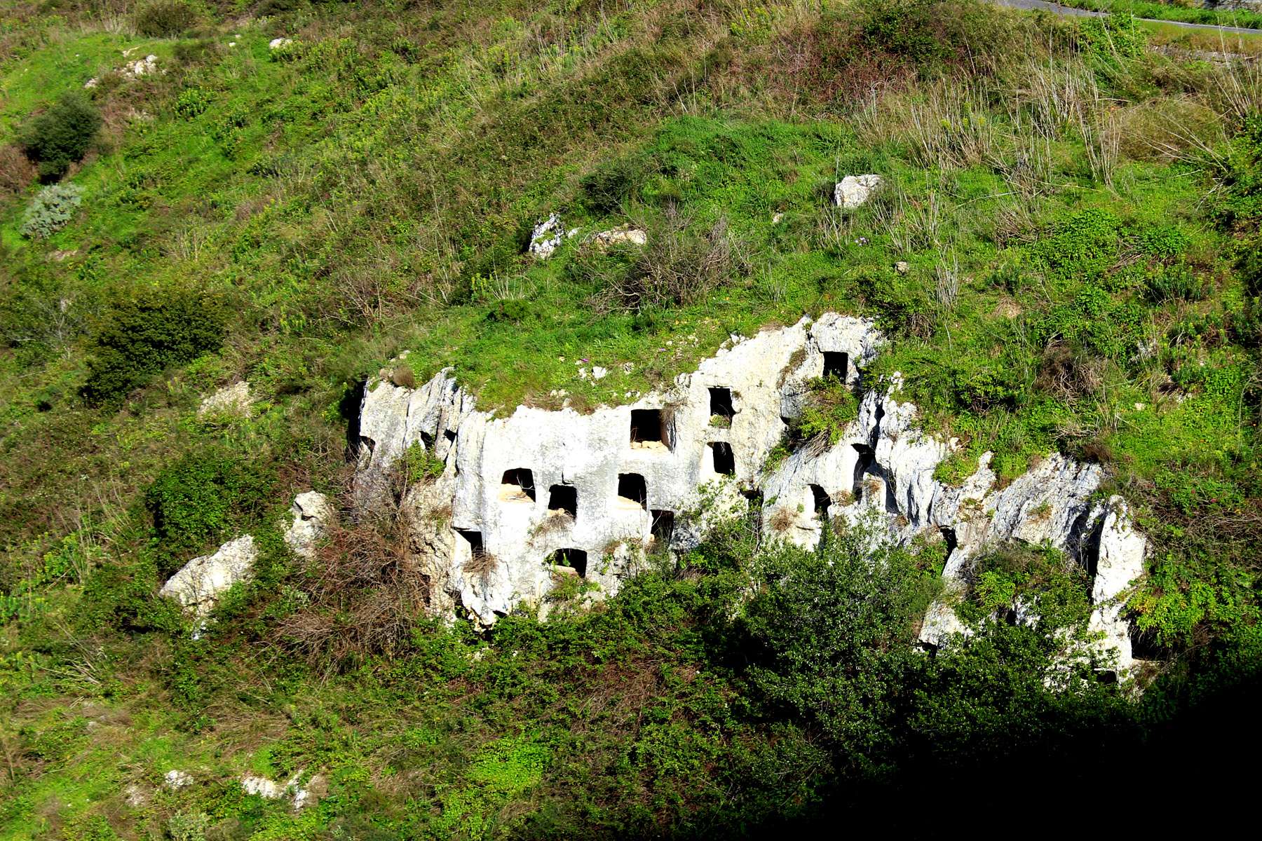
Necropolis
The third village was located next to the Grotta di San Nicolicchio (near the site of Anaktoron). Weathered fragments of frescoes depicting St. Helen and St. Steven can be still seen on the walls (although seeing them requires a lot of “good will”).
The fourth village located near the Filipporto was the largest one and counts some 150 dwellings. The central point of this settlement was the church of San Micidiario, once richly decorated with typical for Byzantine religious art frescoes. Out of four Byzantine villages this one is best preserved (note that this is a “relative” term). Some dwellings have several rooms pointing out that in its time it was a prosperous community.
Given the size and forms of archeological discoveries Pantalica was probably a dominating “center” in eastern Sicily at least till 6th-7th century BC when Greek city-state Syracuse started expansion extending its influence over the major part of the island. Unfortunately with exception of “footprints” of Anaktoron no other Sicani’s dwellings survived the impact of “forces of nature” and possibly human “actions”. Similarly, burial caves had been looted long before archeologists (or rather “our civilization”) showed any interest in their exploration so very little was found there and protected for future generations.
But Pantalica is not all about archeological sites. It’s the Nature in spectacular forms, shapes, colors, scents and sounds …
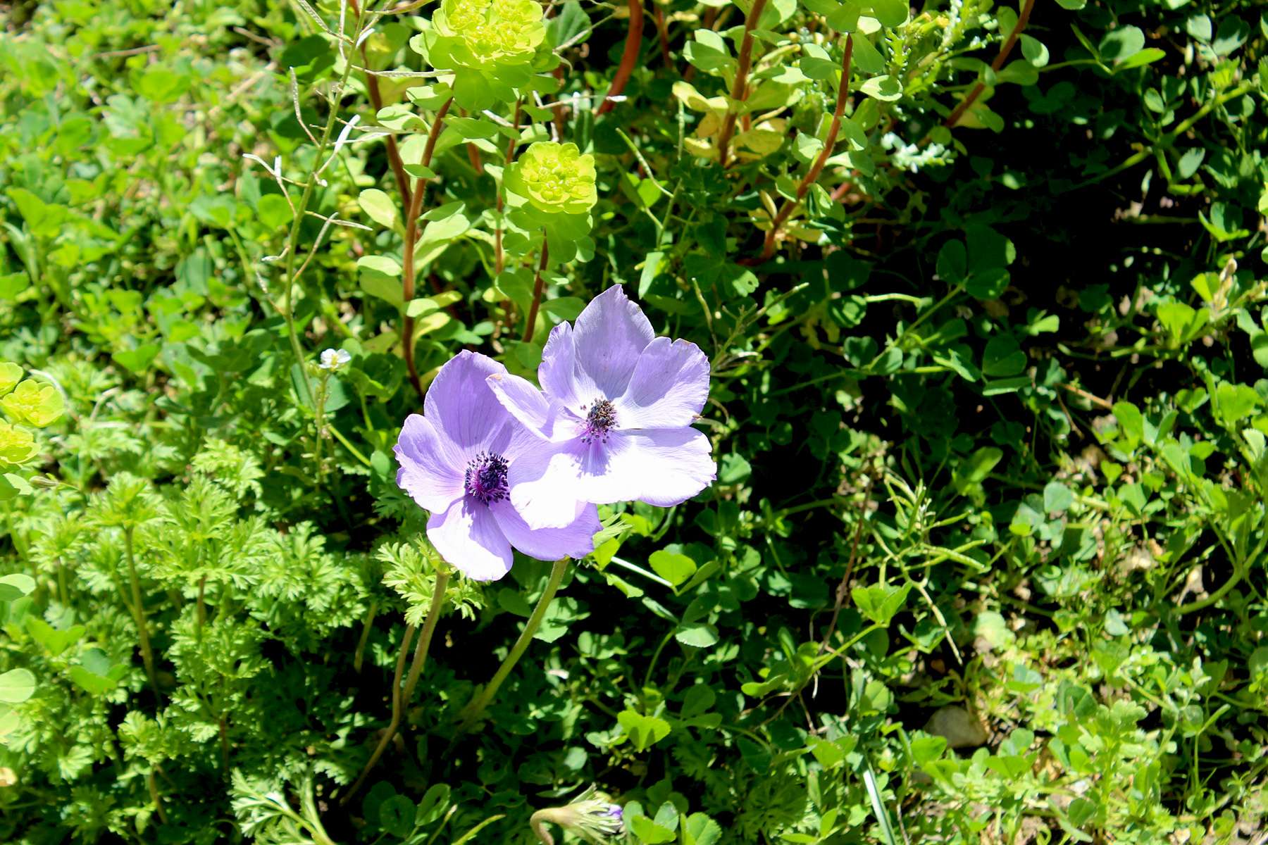
Wild flowers
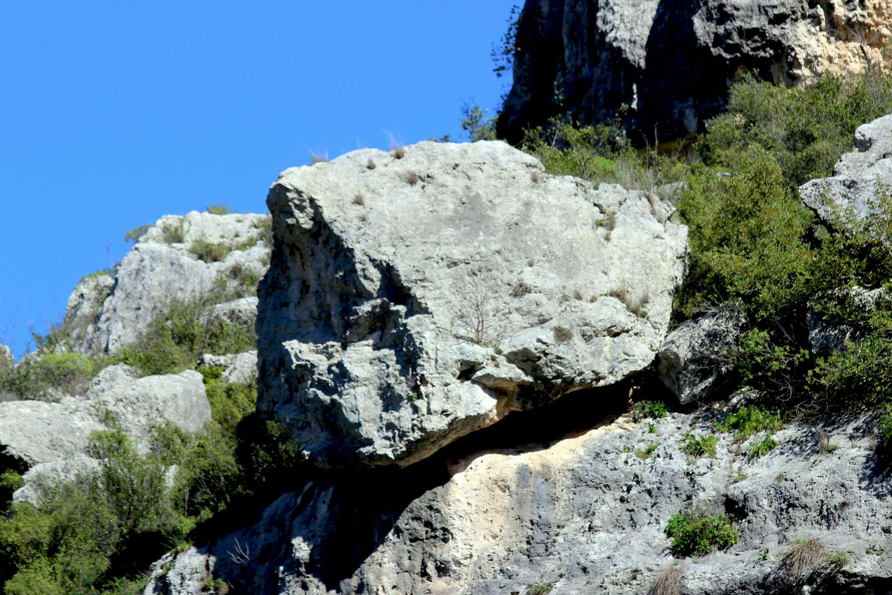
Limestone rock
Fauna and Flora
Ravines are overgrown by poplars, willows, as well as colorful and often fragrant undergrowth. On the slopes grow some species of evergreen oaks and oleanders. Spring brings clusters of flowers bursting allover in live colors – irises, crocuses, wild orchids….
Wildlife comprises small mammals (foxes, rabbits, martens, porcupines …) but also bats thanks to numerous caves making an excellent habitat for these nocturnal creatures (see Pipistrelli cave). Sunny slopes and omnipresent rocks overgrown by shrubby vegetation make an ideal environment for snakes like Leopard Snake (nonvenomous) and equally harmless Riccioli’s snake, while humidity and water are favored by frogs.
Trout ( including rare Sicilian Trout) and eel can be spotted in waters while sky is taken by numerous species of birds (Bonelli’s eagle, peregrine falcon, long-tailed tit, yellow wagtail, king fisher, lesser sandpiper….).
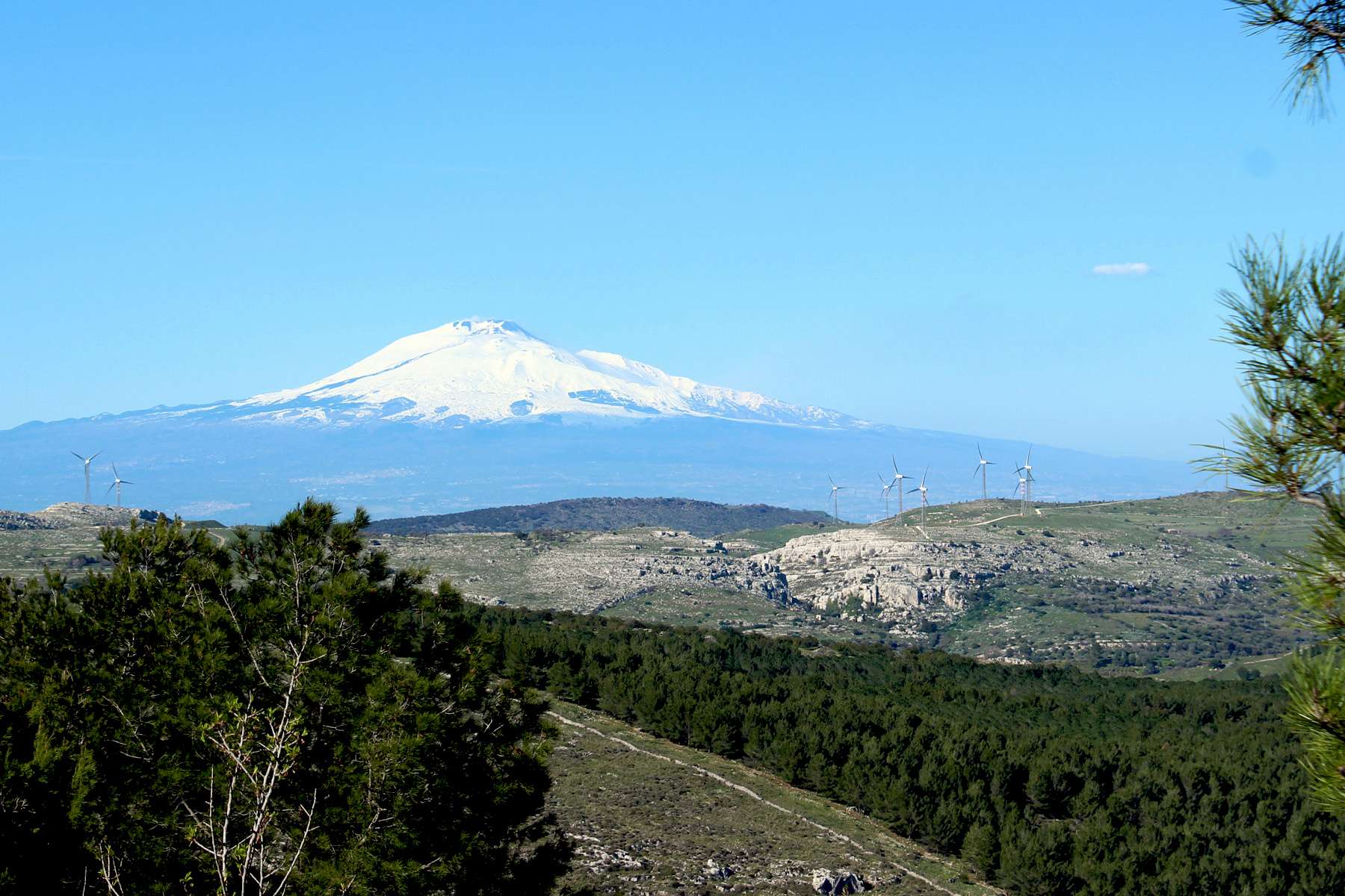
And the bonus: View on the Etna
Recognizing the archeological richness, diversity of flora, fauna and spectacular landscape, the Nature Reserve Pantalica was listed as a World Heritage Site in 2005.
Go back to: --> Sicilian Nature
If you enjoyed this visit, then please share your experience with friends :-)
.
Recent Articles


-
Santa Cruz de Tenerife | Colonial Past mixed with Modernity
Jul 20, 20 10:05 AM
Tenerife (Canary Islands) - time for discovering Santa Cruz, a town where the colonial past is mixed with the modern day capital city….
-
San Cristobal de la Laguna | Tenerife
Jul 05, 20 05:49 PM
The tour of Tenerife (Canary Islands)- From the old, colonial time streets of Laguna, Santa Cruz, Icod de los Vinos to the new tourism oriented Los Cristianos.
-
Great Apes| Loro Parque Tenerife
May 24, 20 02:15 PM
The world of Great Apes - gorillas, chimpanzees and orangutans in “almost natural” settings of Loro Parque
Discover Sicily
Dear Visitor:
If you have any questions and/or suggestions regarding this website please contact us using the following form:
Yours truly
Tom